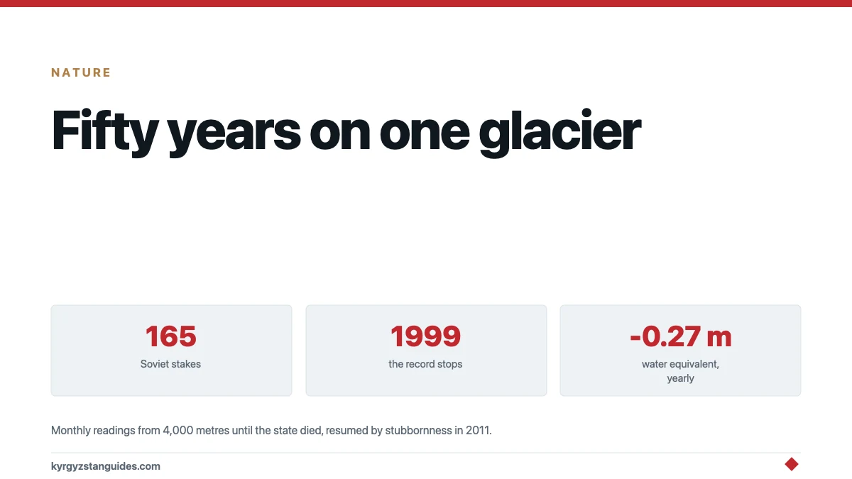
High in the Pamir-Alay, on a north-facing glacier between 3,650 and 5,000 metres, Soviet scientists kept one of the most complete glacier diaries on Earth — monthly readings from a network of 165 stakes and eight snow pits, from 1968 until the project died with the state that funded it. Then, after a twelve-year silence, the measuring resumed.
Abramov is not a tourist glacier; it is a reference glacier — one of the few in Central Asia whose behaviour is known well enough, for long enough, to anchor what we think we know about all the others. Its half-century ledger, reconstructed in full in 2022, carries three findings worth any curious reader's time: how fast it is losing mass, what actually controls that loss, and a satellite-era error the ground record exposed.
The Soviet station
The operation was remarkable by any era's standards. A staffed station ran at the glacier from October 1967, keeping a weather record to 1999 and walking the ice monthly: the archive totals 42,961 stake readings and 2,179 snow-pit measurements across 165 stake sites and eight pits. Thirty years of winters at four thousand metres, measured by hand.
It ended the way Soviet science ended — "abruptly in 1999," as the modern study puts it, funding and logistics gone. For twelve years one of Asia's best-observed glaciers went unobserved. In 2011 a Swiss-Kyrgyz partnership restarted the work with a leaner modern network — 16 stakes, up to four pits, automatic stations — and stitched the two eras into one record.
What a stake in the ice actually measures
Since the whole page rests on “mass balance,” here is the measurement, demystified.
A stake is a pole drilled metres into the glacier. Come back later and read it like a dipstick: more pole showing, the surface has lowered — melt has won; less pole, snow has buried it — accumulation has won. Do that at 165 points from tongue to headwall, monthly, and the glacier's whole surface budget resolves into numbers: where it feeds, where it starves, and where the equilibrium line between them sits each year.
The snow pits supply the other half. A pit wall exposes the year's layers, and weighing known volumes from each layer gives density — the conversion factor that turns centimetres of fluffy or packed snow into the universal currency of metres of water equivalent. That currency is why a figure like 0.27 m w.e. per year means something physical: spread over the glacier, it is a 27-centimetre-deep sheet of water lost annually, every year, for five decades.
Nothing in the method is clever; everything in it is labour. Which is the real meaning of Abramov's archive — 42,961 stake readings is not a dataset so much as a monument to people who climbed to the same frozen benchmarks every month for thirty years, in a place where January means business.
What fifty-two years add up to
The headline: over 1968/69–2019/20, Abramov lost on average 0.27 metres of water equivalent per year — a steady thinning that compounds into tens of metres of ice gone from a living water tower. An earlier reanalysis of the Soviet-era portion gave 0.44 m per year for 1968–2014; the two figures cover different periods with different methods, and the honest reading is a range bracketing a glacier firmly in deficit, with the longer record the gentler number.
The second finding rearranges intuition. Year-to-year, Abramov's fate tracks precipitation far more than temperature: annual balance correlates with annual snowfall at R² = 0.72, against just 0.29 for summer temperature. A generous winter can still buy the glacier a decent year — which sounds comforting until you meet the third finding.
The third is about the glacier's savings account. Firn — old compacting snow — normally acts as a sponge, refreezing summer meltwater and keeping it. The record shows Abramov's lower firn densifying into ice, the sponge sealing itself; meltwater that once refroze now runs off. A glacier can lose its buffer before it loses its area, and the diary catches that happening.
The satellite correction
Here is why ground stations matter in a satellite age. Remote-sensing estimates in the 2000s read Abramov as roughly balanced — a rare healthy glacier. The reanalysis showed why that was wrong: radar penetrates dry snow, so the satellites were measuring a surface somewhere inside the snowpack, flattering the glacier by the thickness of their own error. The correction propagated — regional assessments leaning on such readings had inherited the optimism.
One glacier with stakes in it recalibrated the view from orbit. That is what "reference glacier" means in practice, and Abramov holds the role formally in the global monitoring network.
Why this one glacier is worth a page
Because Kyrgyzstan's water future is usually discussed through aggregate glacier statistics — thousands of glaciers, percentages lost — numbers that are themselves built on a handful of places where someone actually stood on the ice and measured. Abramov is Central Asia's best such place. Its soot record even quantifies the grey tint visitors notice on Kyrgyz ice: sampling here found black carbon boosting summer melt by around six per cent, the largest effect of the four glaciers measured — the black-carbon story in miniature.
And the melt has an address. Abramov's water runs toward the Vakhsh and on into the Amu Darya system — the irrigation lifeline of downstream Central Asia — so its 0.27 metres a year is subtracted, eventually, from fields in another country. The farms-and-water post shows the same arithmetic on the Kyrgyz side of the ledger.
Two sister glaciers share the soot study's pages — Golubin above Bishkek and Glacier No. 354 in the inner ranges — and the comparison carries its own small lesson: Golubin, nearest the capital's smoke, showed the smallest soot-melt effect of the set, a reminder that atmospheric plumbing beats proximity.
The glacier sits in remote Alay country, roughly south of the Pamir-highway corridor; there is no visit to recommend, only a record to respect. Fifty years of monthly numbers from four thousand metres, interrupted by history and resumed by stubbornness, is as close as a lump of ice comes to having a biography.
What I could not establish
The exact administrative fate of the station in the 1990s — "ended abruptly in 1999" is the record's own phrasing, and the human story behind the last reading is nowhere published. The current year-by-year balances beyond the 2022 study's window. And any figure for how much total ice volume Abramov retains — thickness surveys exist for parts, but a clean "years left at current rates" number would be manufactured, so none appears here.
FAQ
Where is Abramov Glacier?
In the Pamir-Alay range of southern Kyrgyzstan, a north-facing valley glacier of about 24 square kilometres spanning roughly 3,650 to 5,000 metres, draining toward the Vakhsh and the wider Amu Darya system.
Why is Abramov Glacier famous among scientists?
Because of its record: a staffed Soviet station measured it monthly from 1968 — 165 stakes, eight snow pits, 42,961 stake readings — until 1999, and Swiss-Kyrgyz work restarted monitoring in 2011. Few glaciers anywhere, and none better in Central Asia, carry such a diary, which is why it serves as a global reference glacier.
How fast is Abramov losing ice?
On average 0.27 metres of water equivalent per year over 1968/69-2019/20, per the 2022 full-record study; an earlier reanalysis of 1968-2014 gave 0.44. Different periods and methods — read it as a glacier firmly, steadily in deficit.
Does temperature or snowfall control the glacier?
Snowfall, by a wide margin year-to-year: annual balance correlates with precipitation at R² = 0.72 versus 0.29 for summer temperature. The darker finding is that the glacier's firn is densifying into ice, destroying the buffer that once refroze and kept summer meltwater.
How did Abramov correct the satellites?
Satellite-era estimates had read the glacier as near-balanced; the ground record showed the radar had been penetrating dry snow and measuring too generously. The correction mattered beyond one glacier, since regional assessments had leaned on the same flattering readings.
What happened to the station in the 1990s?
The record "ended abruptly in 1999" as Soviet-built science lost its funding, and the glacier went unmeasured for twelve years until the 2011 restart. The gap sits visibly in one of the world's great glacier datasets — history legible in missing data.
Can you visit Abramov Glacier?
Realistically no — it is remote Alay high country with no access arrangements, and its value to a traveller is context rather than destination: this is the ice whose measurements underwrite what everyone says about Kyrgyzstan's melting glaciers.