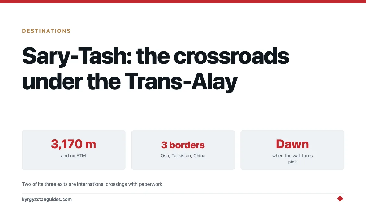
Sary-Tash is a village of a few hundred people at 3,170 metres where three countries' roads meet, and it has the best view in Kyrgyzstan from a place you can drive to. Step outside a guesthouse at dawn and the entire Trans-Alay range stands across the valley — a wall of snow peaks running east to west with Kurumdu at 6,614 metres among them, and behind that, Tajikistan.
Almost nobody stays more than one night. Almost everybody should have stayed two.
Why the village exists
Roads. That's the whole answer.
Sary-Tash sits where the route from Osh over the Taldyk pass meets two international roads: south over Kyzyl-Art into Tajikistan and onto the Pamir Highway, and east to Irkeshtam and the Chinese border. A village at 3,170 metres with no agriculture to speak of exists because everything moving between Osh, Kashgar and Khorog has to pass this junction.
The name means yellow stone. The river running below it is the Kyzyl-Suu, red water, coloured by what washes down off Kurumdu's slopes.
Our border crossings guide covers Irkeshtam and Kyzyl-Art in detail, and the Pamir Highway guide picks up the road south.
Three borders, three different propositions
Worth understanding before you plan anything around this junction, because the roads out of Sary-Tash aren't equivalent.
South to Tajikistan, over Kyzyl-Art at 4,280m. The start of the Pamir Highway proper. You need a Tajik visa and a GBAO permit for Gorno-Badakhshan, arranged in advance. The crossing is remote, the no-man's-land between posts is long, and this is not somewhere to arrive without paperwork in order.
East to China, at Irkeshtam. Open to foreigners, but it's a freight crossing first and a tourist one second. You cannot walk it, transport on the Chinese side needs arranging, and hours are limited. Caravanistan's Sary-Tash notes are the most reliable running record of what's currently required.
North to Osh, over Taldyk at around 3,600m. The easy one: a paved road, shared taxis running daily, a half-day journey.
So Sary-Tash is a genuine junction, but two of its three exits are international crossings with prerequisites. If you arrive assuming you can improvise your way into China or Tajikistan, you'll be turning north.
The view, and when to look at it
The Trans-Alay wall is the reason to come and it isn't subtle. From the village the range fills the southern horizon across a wide flat valley floor, which means nothing blocks it and you see the whole thing at once.
Dawn is the one. The wall catches light before the valley does, the peaks go pink and then white while you're still standing in shadow, and it's cold enough that you'll be back inside within ten minutes. Set an alarm. This is the single strongest argument for staying the night rather than driving through.
Afternoon light flattens it. Cloud builds over the range through the day in summer, so a clear morning isn't a promise of a clear evening.
Walk ten minutes out of the village in any direction to get the powerlines out of the frame.
What it's actually like to stay
Basic, cold, and better than that sounds.
There are around five guesthouses, a petrol station, and a handful of shop-cafes. Expect a bed in a family house, a shared bathroom, meals cooked by whoever is running the place, and electricity that may or may not be on. Nights are cold in July. You are at 3,170 metres and the thermometer doesn't care what month it's.
Bring warm clothes for the evening even in summer. Our what to wear guide covers the general problem; Sary-Tash is the extreme case of it.
Bring som. There's no ATM. Paying in Kyrgyzstan explains why that matters more here than in Osh.
Altitude: take this one seriously
3,170 metres is high enough to affect people, and Sary-Tash catches travellers out because they arrive by car from Osh in a few hours.
Osh is at about 960 metres. Driving to Sary-Tash gains you more than two thousand metres in a morning, which is exactly the profile that produces headaches and a bad night's sleep. If you then continue over Kyzyl-Art at 4,280 metres the next day, you're climbing fast on no acclimatisation at all.
Practical version: drink more water than you want to, don't drink alcohol the first night, and if you're heading into the Pamirs treat Sary-Tash as an acclimatisation stop rather than a fuel stop. Our altitude guide has the thresholds.
What to do with a second day
More than the village suggests.
Walk out towards the range. The valley floor is flat and open, the river is below, and an hour's walk changes the view considerably. No permits, no fee, no path required.
Sary-Mogol, half an hour west, is the CBT base for the Alay and the place to arrange horses, guides and the border permit for Lenin Peak country. Our Osh to Sary-Mogol guide covers the route and Heights of Alay the trek it leads to.
Tulpar-Kul and Lenin Peak base camp are the serious objective in this valley, reachable from Sary-Mogol. See our Pik Lenin guide.
Or just sit. There is a specific pleasure in a high, cold, empty place with one road through it, and it's wasted on people who arrive at six and leave at seven.
Getting there
Shared taxi from Osh is the standard route, over the Taldyk pass, and it's a long half-day on a road that climbs hard. Our Osh guide covers the departure end.
Cyclists and motorcyclists on the Pamir Highway come through in both directions all summer, and Sary-Tash is where they stop.
In winter the passes close and the village becomes genuinely remote. Summer and early autumn are the practical window, which our passes guide tracks.
FAQ
Where is Sary-Tash?
In the Alay valley in southern Kyrgyzstan's Osh region, at 3,170 metres, at the junction of the roads from Osh, the Tajik border at Kyzyl-Art and the Chinese border at Irkeshtam.
What is there to see in Sary-Tash?
The Trans-Alay range, which fills the southern horizon across a flat valley floor. Kurumdu reaches 6,614 metres. Dawn is by far the best light, which is the main reason to stay overnight rather than pass through.
Where do you stay in Sary-Tash?
Around five guesthouses, all simple. Family houses with shared bathrooms and home cooking. Electricity can be intermittent and nights are cold even in July. There's also a petrol station and a few shop-cafes.
Is altitude a problem in Sary-Tash?
It can be. Driving from Osh at about 960m to Sary-Tash at 3,170m in a morning is a fast gain, and headaches and poor sleep are common. Treat it as an acclimatisation night if you're continuing over Kyzyl-Art at 4,280m.
How do you get to Sary-Tash?
Shared taxi from Osh over the Taldyk pass, a long half-day. It's also on the Pamir Highway route, so cyclists and overlanders pass through constantly in summer.
Is there an ATM in Sary-Tash?
No. Draw som in Osh before you leave. Guesthouses, cafes and fuel are all cash only, as is everything else at this altitude.