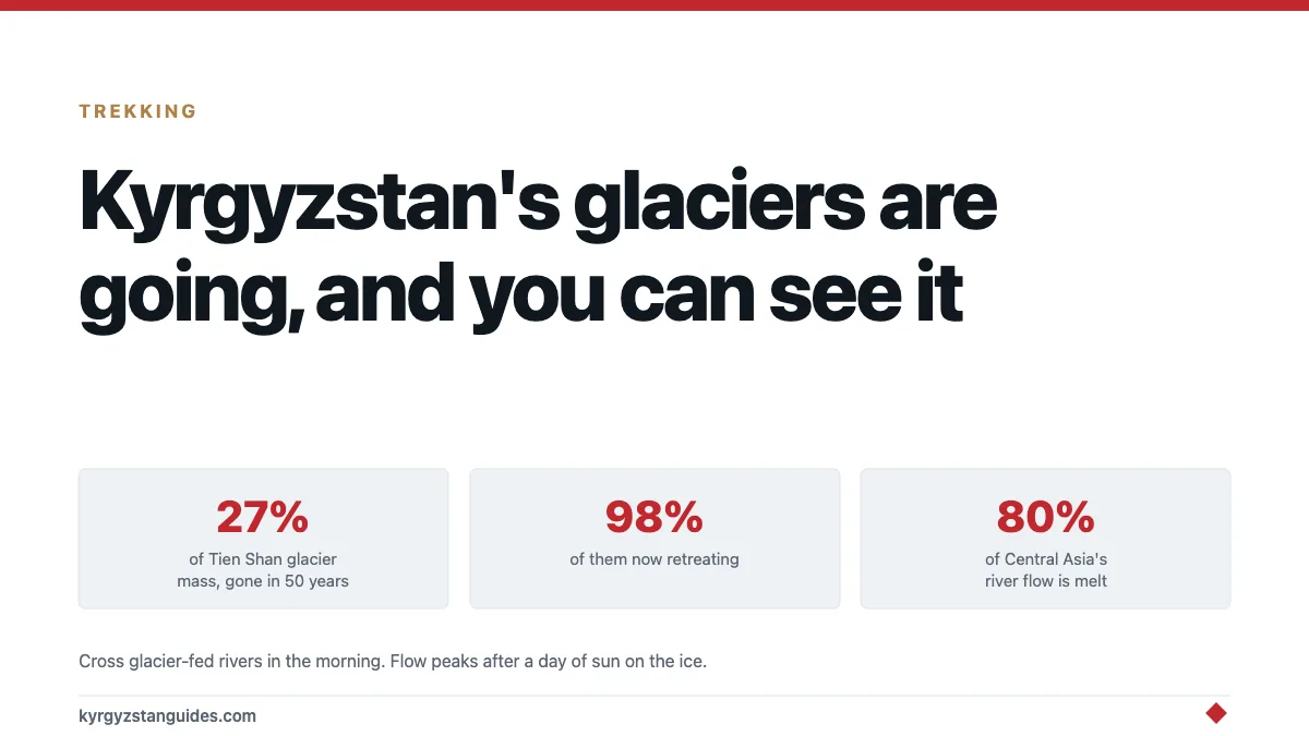
Glaciers across the Tien Shan have lost around 27% of their mass and 18% of their area in the last fifty years, and roughly 98% of them are now retreating. Anyone walking to Ala-Kul, up the Ala-Archa gorge or into the Alay is standing in front of that process, usually without being told.
This isn't an abstract climate story for a country where glacier and snowmelt supplies something like 80% of total river runoff. It's the plumbing.
What the numbers actually say
The figures are unusually well studied here, because the Tien Shan is the water tower for four countries and everyone downstream has an interest.
| What | How much | Over what period |
|---|---|---|
| Tien Shan glacier mass lost | ~27% | last 50 years |
| Tien Shan glacier area lost | ~18% | last 50 years |
| Kyrgyz glacier area lost | ~16% | last 70 years |
| Tien Shan glaciers retreating | ~98% | current |
| Projected volume loss | 69–93% | by 2100 |
Published projections put Central Asia on course to lose something approaching a third of remaining glacier mass by 2040, as summarised in The Diplomat's write-up of the 2026 modelling. The longer-range figures vary with emissions scenario, which is why the 2100 range is so wide.
Central Asia's two great rivers, the Amu Darya and the Syr Darya, start in this ice.
Why the country cares more than you'd expect
Kyrgyzstan runs on water in a way that's easy to miss when you're looking at mountains.
Most of the country's electricity comes from hydropower, and the reservoirs behind those dams are filled by the same melt. A dry year is not just a farming problem here. It's a power problem, and winter outages follow low water in the autumn. Toktogul, the big reservoir on the Naryn river, is watched the way other countries watch a central bank.
Downstream the argument gets sharper. Kyrgyzstan is upstream; Uzbekistan and Kazakhstan are downstream and irrigating cotton and wheat with the same water. Eurasianet's reporting on the melting glaciers sets out how tightly the region's ecological and energy futures are tied together, and the short version is that a glacier's retreat in an empty valley turns into a negotiation between governments.
There is a cruel trick in the timing, too. As ice melts faster, rivers initially run fuller. More water, not less. The shortfall arrives later, once the ice that was feeding the extra flow is no longer there. Several Central Asian rivers are currently in the good half of that curve.
What a walker actually sees
You don't see retreat directly. You see the space it left.
Trimlines. A pale band on the valley wall, sometimes tens of metres above the present ice, where the glacier used to reach and rock hasn't weathered as long. Once you know to look for them, they're everywhere in Ala-Archa.
Bare, unstable moraine between the path and the ice. Glaciers leave rubble, and freshly exposed rubble hasn't had time to grow anything or settle. A great deal of unpleasant walking in Kyrgyzstan is over ground that was under ice within living memory.
Dirty, collapsing snouts. A healthy glacier terminus is a wall. A retreating one is a slumped, debris-covered mess with meltwater coming out of it, and most of what you'll see here looks like the second thing.
New lakes. Water pools behind moraine dams as ice pulls back. Some are beautiful. Some are a hazard, which is the next section.
The approach to Ala-Kul crosses a lot of this ground, and so does the walk up to the Ratsek hut in Ala-Archa, where the glacier is directly in front of you.
The hazard nobody mentions on a trekking permit
Glacial lake outburst floods. The mechanism is simple and the consequences are not.
Meltwater collects behind a dam of loose moraine. The dam isn't rock, it's rubble and buried ice. Eventually it fails, sometimes gradually, sometimes all at once, and the lake goes down the valley in a matter of hours.
Kyrgyzstan has a lot of these lakes and the number is increasing as ice retreats, which is precisely the mechanism that makes deglaciating ranges more dangerous rather than less. This doesn't change what you do on an ordinary trek. It's the reason not to pitch a tent on a flat gravel bank directly below a moraine-dammed lake, however inviting the flat ground looks.
The same logic that applies to earthquakes here applies to ice: the slow processes are fine, and the sudden releases are the problem.
Where you can get close to one
Ala-Archa is the accessible answer. The Ak-Sai glacier sits above the Ratsek hut, roughly a day's walk from the park gate, and you're looking at ice from a hut you can actually reach without technical skills. Our Ala-Archa guide has the entry and transport detail.
Inylchek, in the far east against the Chinese border, is the big one. One of the largest glaciers outside the polar regions, and the approach to Khan Tengri. It is a serious expedition, usually with a helicopter leg, and not something to decide on a whim.
The Alay, on the way to Lenin Peak base camp, puts you under a whole wall of ice with comparatively little effort, since the approach is a valley walk rather than a climb. Our Pik Lenin base camp guide covers it.
Ala-Kul doesn't take you onto a glacier, but the pass gives you the view and the moraine landscape on the way is a lesson in itself.
Does this change when you should go?
Marginally, and not in the way people expect.
Retreating ice hasn't made the trekking season longer in any way you'd notice — that's governed by snow on the passes, and our passes guide tracks it. What has changed is the state of the ground near the ice: more loose moraine, more meltwater, more braided streams to cross late in the day when the melt is running hardest.
Practical version of that: cross glacier-fed rivers in the morning. Flow peaks in the afternoon after a day of sun on the ice, and the difference between 8am and 4pm on the same crossing can be substantial.
Is it worth seeing before it's gone?
That framing gets used a lot and it deserves some pushback.
The ice is not going to vanish inside a decade. Projections run to 2100 and the large glaciers will outlast anyone reading this. "See it before it's gone" is mostly a marketing sentence.
What is true is that these glaciers are visibly different from what photographs show fifty years ago, that the trimlines make the change legible in a way most climate stories aren't, and that the people downstream are already having the argument about water. That's a more interesting reason to pay attention than urgency.
One part of the cryosphere is missing from most accounts, including this one: the debris-covered ice of rock glaciers, which hold 38 to 60 per cent ice beneath their rubble and melt far more slowly than exposed glaciers do.
Legal protection is thinner than the scale of the ice suggests. There is no standalone glacier law, only Article 57 of the Water Code, which names two glaciers as exempt and carries no glacier-specific penalty.
FAQ
How much ice has Kyrgyzstan lost?
Tien Shan glaciers have lost roughly 27% of their mass and 18% of their area over the last fifty years, and Kyrgyzstan's glacier area has shrunk by about 16% over seventy years. Around 98% of Tien Shan glaciers are currently retreating.
Can tourists visit a glacier in Kyrgyzstan?
Yes. The most accessible is Ak-Sai above the Ratsek hut in Ala-Archa, about a day's walk from the park gate. The Alay valley on the way to Lenin Peak base camp also puts you under substantial ice on a valley walk.
Why do Kyrgyzstan's glaciers matter?
Glacier and snowmelt supplies roughly 80% of river runoff in Central Asia, including the Amu Darya and Syr Darya. Irrigation, drinking water and hydroelectric generation across four countries depend on it.
What is a glacial lake outburst flood?
Meltwater builds behind a dam of loose moraine left by a retreating glacier. When the dam fails, the lake empties down the valley within hours. The number of these lakes rises as ice retreats, which is why deglaciating ranges can become more hazardous, not less.
When is the best time to cross glacier-fed rivers?
Morning. Meltwater flow peaks in the afternoon after a day of sun on the ice, so a crossing that's straightforward at 8am can be considerably harder by 4pm.
Will the glaciers disappear?
Not soon, and not completely this century on most scenarios. Projections put Tien Shan volume loss between 69% and 93% by 2100 depending on emissions, with roughly a third of Central Asia's remaining glacier mass gone by 2040 on recent modelling.
For where all this water actually goes — and why not one Kyrgyz river reaches an ocean — see Kyrgyzstan’s rivers.
Further west along the same shore, Chon-Kyzyl-Suu holds a research station that has measured this range continuously since 1948.