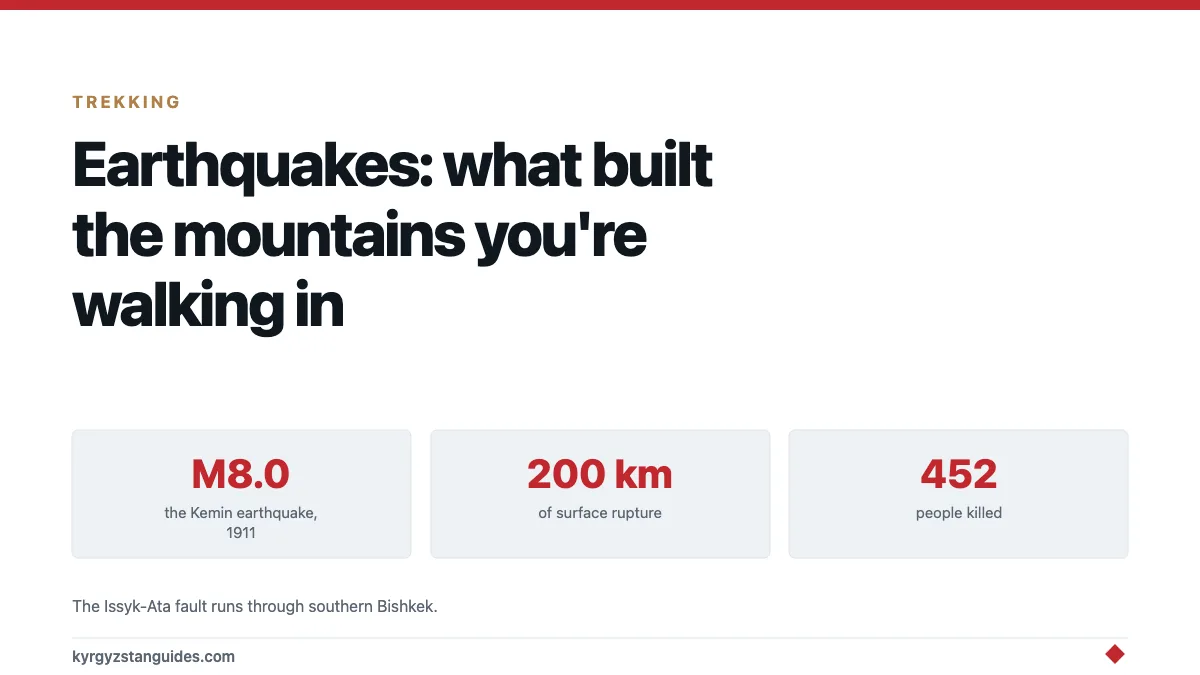
Kyrgyzstan sits on one of the most seismically active continental zones on the planet, and the last really large event here: the Kemin earthquake of 3 January 1911, magnitude 8.0. Tore a rupture roughly 200 kilometres long through valleys that are now trekking routes. If you walk the Chon-Kemin, you're walking a fault scarp.
For a visitor the practical risk is low and worth understanding rather than worrying about. The geology, though, is the whole reason the country looks like this.
Why there are mountains here at all
India is still moving north into Asia. That collision built the Himalaya, and it didn't stop at the Himalaya: the stress propagates hundreds of kilometres further, and the Tien Shan is the far northern edge of it. These ranges are being actively squeezed upward right now, which is why they are so high, so steep, and so unstable.
Most mountain ranges on earth are old and eroding. The Tien Shan is young and still going up, and it does that in earthquakes.
That is the connection worth carrying: every valley wall you look at, every rockfall scar, every hot spring, all of it's the surface expression of a continent being compressed.
The 1911 Kemin earthquake
On 3 January 1911 the northern Tien Shan produced an event of moment magnitude 8.0 — surface-wave magnitude measured at 8.1, with modern reassessments placing it somewhere between 7.9 and 8.1. The USGS catalogue entry records it as the 1911 Kemin earthquake.
The numbers behind it are hard to picture until you break them down.
It killed 452 people, in a region that was then very thinly populated. It destroyed over 770 buildings in Almaty, a hundred-odd kilometres away across the border in what is now Kazakhstan. And it ruptured the ground surface for about 200 kilometres, through the valleys of the Chon-Kemin, the Chilik and the Chon-Aksu, with landsliding along the whole activated length, including two very large rockslides, one inside the Kemin valley itself and one north of Issyk-Kul.
A two-hundred-kilometre surface rupture is not an abstraction. It is a visible step in the landscape, and in the Chon-Kemin sections of it are still legible over a century later, which is why geologists keep going back. If you've read our Chong-Kemin valley trek guide, that's the valley.
January, incidentally. Deep winter, at altitude, in 1911. The survival conditions afterwards did much of the harm.
The fault under Bishkek
This matters for the city’s Soviet-era apartment stock, which is officially classed as not seismically resistant.
The one that matters for a modern population is quieter and much closer to people.
The Issyk-Ata fault runs about 120 kilometres west to east along the northern Tien Shan front, and it passes through the southern part of Bishkek — a city of over a million. It's the youngest active fault in the area, and published estimates for the earthquakes it is capable of producing fall in the range of magnitude 6.6 to 7.1.
That is a smaller number than 1911. It is also directly underneath a capital city rather than in an empty valley, which is the variable that actually determines what an earthquake costs. Seismic risk is a function of what is standing on top of the fault, and a great deal of Bishkek's housing stock is Soviet-era panel construction.
None of this is a reason to change your travel plans. It is the reason Kyrgyz building codes and the country's seismology institute exist, and it's the honest answer to a question travellers occasionally ask and rarely get a straight response to.
1911 was not the first
The written record here is short. The geological one isn't.
Researchers working in the Chuy basin (the flat corridor Bishkek sits in) have identified evidence of a strong medieval earthquake preserved in the sediments and in damaged archaeological layers, well before anyone was keeping instrumental records. Work of that kind is how seismologists estimate how often a fault produces a large event, since a century of measurements tells you almost nothing about a system that moves on a timescale of centuries.
The broader picture is set out in a review of earthquake-induced hazards in Central Asian mountain regions, which walks through the case histories — and makes the point that in mountain terrain the secondary effects, landslides and dammed valleys and the floods that follow when those dams fail, have repeatedly done more damage than the shaking.
That last mechanism is worth holding onto. An earthquake drops a mountainside into a river, the river backs up behind it, and weeks or months later the natural dam gives way.
What this actually means for a traveller
Small shakes are common and you may feel one. Most visitors don't.
The realistic hazard in the mountains is not the shaking itself but what shaking dislodges. Kyrgyzstan's slopes are steep, loose and freshly built, and earthquake-triggered landslides and rockfalls are the documented killer in Central Asian mountain events. The same slopes also produce rockfall without any earthquake at all, from rain, meltwater or simple gravity.
Which means the sensible precautions are the ones you should be taking anyway:
Don't camp directly under an obvious rockfall chute or at the base of a fresh scree cone. Don't linger in narrow gorge sections with loose walls above you. Treat the Boom Gorge and similar road cuts as places to keep moving through rather than stop for photographs directly beneath the wall.
Inside a building, the standard guidance applies: get under something solid, stay away from windows, and don't run for a stairwell mid-shake.
This is general information, not professional safety advice. If you want the authoritative current picture, national seismological services publish it.
The landscape reads differently once you know
This is the part that earns the reading.
The hot springs at Altyn-Arashan and Issyk-Ata aren't decorative — they're water circulating along fractured fault zones, which is why they cluster where they do. The straight, flat-bottomed valleys are fault-controlled. The enormous boulder fields you cross on the Ala-Kul approach didn't arrive gently.
Issyk-Kul itself sits in a tectonic basin held between two rising ranges, which is why a lake that big has no outflow.
Once you see the ranges as a machine that's still running, the country stops looking like scenery and starts looking like a process — and the 1911 rupture stops being a historical footnote and becomes the last time the machine moved a long way in one go.
FAQ
Does Kyrgyzstan have earthquakes?
Yes, frequently. It sits in one of the most seismically active continental regions on earth, driven by the India–Asia collision. Most events are small. The largest recorded was the Kemin earthquake of 3 January 1911, at magnitude 8.0.
How bad was the 1911 Kemin earthquake?
It killed 452 people, destroyed over 770 buildings in Almaty across the border, and produced a surface rupture around 200 km long through the Chon-Kemin, Chilik and Chon-Aksu valleys, with major landslides along its length.
Is Bishkek at risk from earthquakes?
The Issyk-Ata fault runs roughly 120 km along the mountain front and passes through southern Bishkek. Published estimates put its potential magnitude in the 6.6–7.1 range. The risk is taken seriously locally, and it's a known factor in the city's building codes.
Should earthquakes affect my travel plans to Kyrgyzstan?
No. The chance of experiencing a damaging earthquake during a two-week trip is very small. The related hazard worth respecting is rockfall on steep loose slopes, which you should be avoiding regardless of seismicity.
Are the hot springs connected to the earthquakes?
Indirectly, yes. Springs like Altyn-Arashan and Issyk-Ata occur where groundwater circulates along fractured fault zones, so the same tectonics that produce earthquakes also produce the hot water.
Why are the Tien Shan mountains so steep?
Because they're young and still rising. The India–Asia collision continues to compress Central Asia, pushing these ranges up faster than erosion wears them down — and that uplift happens in earthquakes.