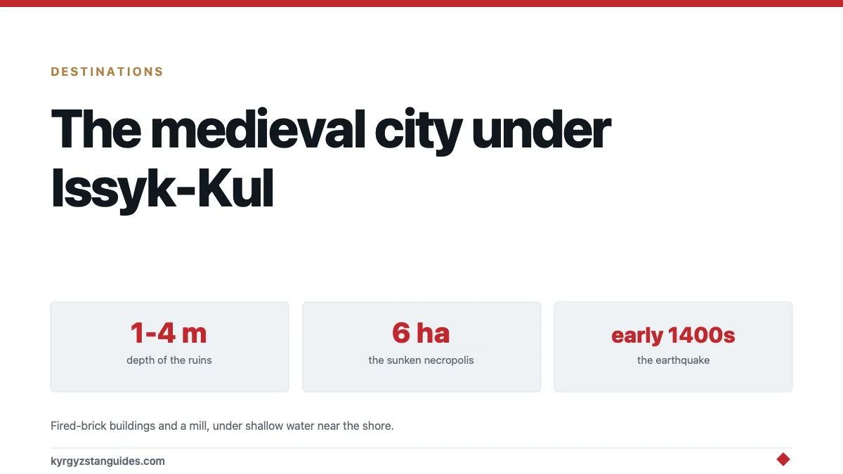
Somewhere between one and four metres below the surface of Issyk-Kul, close enough to the shore that you could swim out to it, there's a medieval town. Fired-brick buildings. A mill with its millstone still in place. A Muslim cemetery covering about six hectares.
It was a working settlement on the Silk Road from roughly the tenth to the fifteenth century, and then an earthquake in the early 1400s put it under the lake.
Underwater surveys by archaeologists from the Russian Academy of Sciences have now mapped four zones of it, reported in detail by Heritage Daily. This is, by a distance, the most interesting thing in Kyrgyzstan that almost no visitor knows exists.
What has been found
The site corresponds to a settlement known as Toru-Aygyr, on the western part of the lake.
Divers worked four separate zones in shallow water (nowhere deeper than about four metres) and found something different in each:
| Zone | Finds |
|---|---|
| 1 | Numerous fired-brick structures, one containing a millstone: a medieval flour mill |
| 2 | A Muslim necropolis of the 13th–14th centuries, roughly 6 hectares |
| 3 | Later expansion, more buildings, plus an earlier burial ground built over |
| 4 | Round and rectangular mudbrick structures, with layers of buried soil |
Read zone 3 again, because it's the archaeologically interesting one. An earlier cemetery with a later town built on top of it means the settlement grew, outlived its own memory of where its dead were, and expanded over them. That is a town with several centuries of continuous life behind it, not a seasonal camp.
The six-hectare necropolis in zone 2 is the size that tells you about population. Cemeteries scale with the communities that fill them, and that's a lot of graves.
Why a city is under a lake
Issyk-Kul is endorheic, nothing flows out of it. Its level is set entirely by the balance of inflow against evaporation, and that balance has shifted substantially over the centuries. The lake has been higher and lower than it is now, repeatedly.
On top of that slow movement sits the fast one: this is an extremely active seismic zone. The Tien Shan is still rising because the Indian plate is still pushing north, and the faults that do that run directly under and around the lake. Our guide to earthquakes in Kyrgyzstan covers the mechanics.
A large earthquake can drop a section of shoreline, liquefy the ground beneath buildings, or trigger landslides that change a river's course. Researchers connect the loss of this settlement to a powerful event in the early fifteenth century; Live Science's account frames it as a Silk Road hub wiped out by a single earthquake.
The result is a specific and rare kind of archaeological site: not a ruin that decayed slowly with people picking over it for eight hundred years, but a town that went under in a short space of time and has been sitting in cold, low-oxygen fresh water ever since.
This isn't the only one
Issyk-Kul has produced submerged material for well over a century, and local reports of walls visible in clear shallow water go back much further.
Various settlements around the shoreline have yielded pottery, coins, bricks, millstones and human remains in shallow water, and the lake has a long association in Kyrgyz oral tradition with the idea of a drowned city. The tradition, it turns out, wasn't metaphorical.
This should adjust how you look at the lake. Issyk-Kul is presented to visitors as scenery — a beach, a backdrop, a place to swim between mountain trips. Our Issyk-Kul guide treats it that way too, because that's what most people come for. But the shoreline you're sitting on isn't where the shoreline was, and the shallow water in front of you is an archaeological deposit.
Can you see any of it?
Manage expectations before you plan anything around this.
There is no visitor site. No dive centre running trips to the sunken city, no marked underwater trail, no interpretive centre. The survey work is research, conducted by permit.
Some material is in museums. The Issyk-Kul regional museum at Cholpon-Ata and museums in Bishkek hold finds recovered from the lake over the decades, pottery, bronze items, coins. This is the realistic way to see it.
Do not go looking yourself. This matters. Removing anything from an archaeological site is theft of cultural property, the law here treats it seriously, and shallow-water sites are exactly the ones that get destroyed by amateur collecting. If you snorkel and you see worked stone or brick, leave it where it's.
Diving in the lake is possible through operators on the north shore, but as recreational diving in a high-altitude lake rather than as archaeology. Altitude diving has its own decompression rules — Issyk-Kul is at 1,600 m, and standard dive tables don't apply without correction. DAN's guidance on altitude diving is the thing to read before you book, not after.
Why it's worth knowing
Because it reframes the country you are travelling through.
Kyrgyzstan is sold as a nomadic culture, and that's true and central. It also had towns: caravan towns on a working trade network, with mills and brick buildings and cemeteries large enough to imply real populations, in the same valleys now used for summer pasture. The settled layer of this country's history is genuinely under-told, partly because so much of it's under a lake, under silt, or was dismantled for building material centuries ago.
The other thing it tells you is that this landscape moves. The Black Death cemeteries of the Chuy valley, this town, the earthquake-shattered sites elsewhere: the mountains that make Kyrgyzstan beautiful are the same mechanism that repeatedly erased what people built in them.
FAQ
Is there a sunken city in Lake Issyk-Kul?
Yes. Underwater surveys by the Russian Academy of Sciences have mapped a medieval settlement at depths of one to four metres, including fired-brick buildings, a mill and a large cemetery, corresponding to the site of Toru-Aygyr.
How old is the sunken city at Issyk-Kul?
The settlement flourished from around the tenth to the fifteenth century, with the necropolis dated to the thirteenth and fourteenth centuries.
Why did the city sink?
Researchers link its submergence to a powerful earthquake in the early 1400s. Issyk-Kul sits in a highly active seismic zone and its water level has also varied considerably over the centuries.
How deep is the sunken city?
Between about one and four metres, shallow enough for divers to work in, and in places shallow enough to see into from the surface in calm, clear conditions.
Can tourists dive the sunken city?
Not as an organised archaeological experience. There is no visitor site or dedicated dive trip. Recreational diving is available on the lake, but this is a research site and removing objects is illegal.
Where can I see finds from Lake Issyk-Kul?
The regional museum at Cholpon-Ata and museums in Bishkek display pottery, coins and metalwork recovered from the lake over many decades.