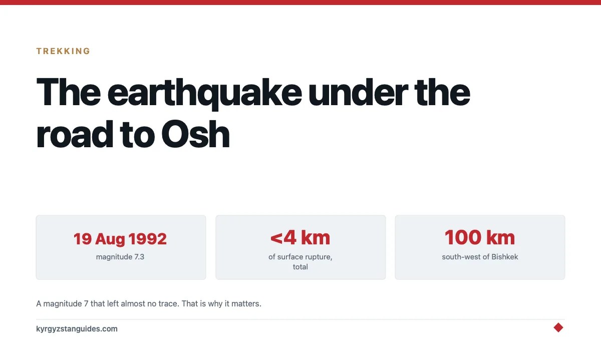
On 19 August 1992, a magnitude 7.3 earthquake struck the Suusamyr valley, about 100 km south-west of Bishkek. Around 50 to 75 people were killed. Villages were damaged, slopes failed, and there was structural damage as far away as the capital.
If you drive the Bishkek–Osh road you cross the epicentral region. The valley is high, empty, beautiful and heavily used by travellers, and almost nothing written about it mentions that thirty years ago it moved.
What makes it scientifically interesting
The Suusamyr event is one of the most studied continental earthquakes in Central Asia, and the reason is a puzzle.
A magnitude 7.3 thrust earthquake should produce a long surface rupture — tens of kilometres of visible offset along a fault trace. Suusamyr produced surface faulting at two widely separated locations, on two different fault segments, with a total length of under four kilometres.
That is a very small amount of surface breakage for an event of that size, and it matters well beyond this valley. Paleoseismology, working out the history of past earthquakes by digging trenches across faults and reading the offsets. Depends on the assumption that big earthquakes leave proportionate surface traces. Suusamyr is the counter-example that says they sometimes do not.
The implication is uncomfortable and important: a fault with no impressive surface record may still be capable of a magnitude 7. Research on the environmental effects of the 1992 event and what they mean for paleo-earthquake studies works through exactly this problem.
The mechanics
The northern Tien Shan is being compressed roughly north-north-west to south-south-east, which is the far-field consequence of India pushing into Asia. That compression is taken up by reverse faulting on steeply dipping, roughly east–west fault planes.
In plain terms: the mountains are being squeezed, and the crust accommodates it by stacking up along thrust faults. Suusamyr was one of those thrusts letting go, and analysis of the mainshock and thirteen moderate aftershocks found their focal mechanisms all consistent with the same compressional picture.
This is the same machinery described in our earthquakes guide, and it's the same machinery that keeps the peaks rising and produces the ice and rockfall hazard on every steep slope in the country.
What it did to the landscape
Beyond the buildings, the ground itself.
Landslides and rockfalls across the surrounding slopes, some of them large.
Liquefaction and ground cracking in valley-floor sediments.
Slope destabilisation whose effects outlast the shaking, because material loosened in 1992 keeps coming down in the wet years afterwards.
This is the part travellers can still see. The Suusamyr valley floor is a broad high basin at around 2,000–2,500 m, and the slopes framing it carry scars, scree fans, slumped ground, rock spreads that don't look like ordinary weathering.
The timing, which nobody mentions
August 1992. Kyrgyzstan had been an independent country for eight months.
There was no functioning disaster response budget, no reserve, and a state apparatus that was in the middle of being invented. The Soviet emergency system that would have handled a 7.3 in a mountain republic had dissolved along with everything else, and what replaced it did not yet exist.
That is part of why the human toll in remote villages was what it was, and it is a useful reminder when reading any figure from that period: the early 1990s in Central Asia produced bad data as well as bad outcomes, which is why the death toll for this earthquake is still given as a range rather than a number.
Compare it with how the state responds now. The Ministry of Emergency Situations issues mudflow and river warnings, runs evacuations, and publishes figures — as covered in our piece on mudflows. That capacity was built from nothing in the years after events like this one.
Where you're when you cross it
The Suusamyr valley is one of the better parts of the Bishkek–Osh drive, and most people pass through it without stopping.
Coming from Bishkek you go through the Töö-Ashuu tunnel at around 3,200 m. A long, unlit, poorly ventilated Soviet tunnel that's an experience in itself, and drop into the valley on the far side. Then the road runs across the basin and climbs again over the Ala-Bel pass toward Toktogul.
It's worth stopping. The valley is summer pasture, there are yurt camps, it is one of the country's horse-breeding areas, and in winter it's a ski-touring destination.
It's also, very obviously once you know, an active tectonic basin with mountains rising on both sides of it.
What this means practically
Do not be alarmed. A magnitude 7 in a specific valley in 1992 doesn't make a road trip today risky. Kyrgyzstan has earthquakes; so does Japan, California and Italy.
Know what to do anyway. In a building: get under something solid or into a doorway, away from windows. Outdoors: away from slopes, buildings and power lines. In a vehicle: stop clear of cliffs and overhangs.
Take slope hazard seriously while trekking. The realistic earthquake-related risk to a visitor isn't a collapsing building. It's rockfall on a slope, which is also triggered by rain, freeze-thaw and nothing in particular.
Old buildings are the risk, not new ones. Soviet-era masonry in small towns is the vulnerable stock, and Bishkek's seismic exposure is a live planning question: the city sits on a basin with active faults beneath it, and assessments of its shifting ground treat the geology as a constraint on how it can grow. This is a general truth about earthquake mortality everywhere: buildings kill people, shaking does not.
Winter road closures are common and not negotiable. The Töö-Ashuu and Ala-Bel passes close in bad weather. That is avalanche and snow rather than seismicity, but it affects the same journey.
Why it belongs in a guide
Because it changes how the drive reads.
Most people cross Suusamyr as dead time between Bishkek and the south — four hours of empty high valley between two passes. Knowing that it produced one of the most-studied earthquakes in Central Asia, and that the event is cited internationally because it broke the rules about how big earthquakes should look, turns an empty basin into something you actually look at.
The mountains here aren't scenery that happens to be large. They are an active process, currently running, and 1992 is the most recent date on which it was locally obvious.
FAQ
What was the 1992 Suusamyr earthquake?
A magnitude 7.3 thrust earthquake on 19 August 1992 in the Suusamyr valley of the northern Tien Shan, about 100 km south-west of Bishkek, which killed roughly 50 to 75 people.
Why is the Suusamyr earthquake important to scientists?
Because it produced surface faulting at only two separated points totalling under four kilometres (far less than expected for its size) showing that a major earthquake can leave very little surface trace.
Did the earthquake affect Bishkek?
There was minor structural damage in the capital, around 100 km away. The serious damage and landsliding was in the Suusamyr region itself.
Is the Suusamyr valley safe to visit?
Yes. It's a standard stop on the Bishkek–Osh road, with yurt camps, pasture and ski touring in winter. Ordinary mountain hazards apply, principally weather and slope instability.
Where is the Suusamyr valley?
A high basin at roughly 2,000–2,500 m, reached from Bishkek through the Töö-Ashuu tunnel and leading on over the Ala-Bel pass toward Toktogul on the road south.
Why does Kyrgyzstan have so many earthquakes?
The collision of the Indian and Eurasian plates compresses the Tien Shan, which is accommodated by reverse faulting. That process is still active and is what continues to raise the mountains.