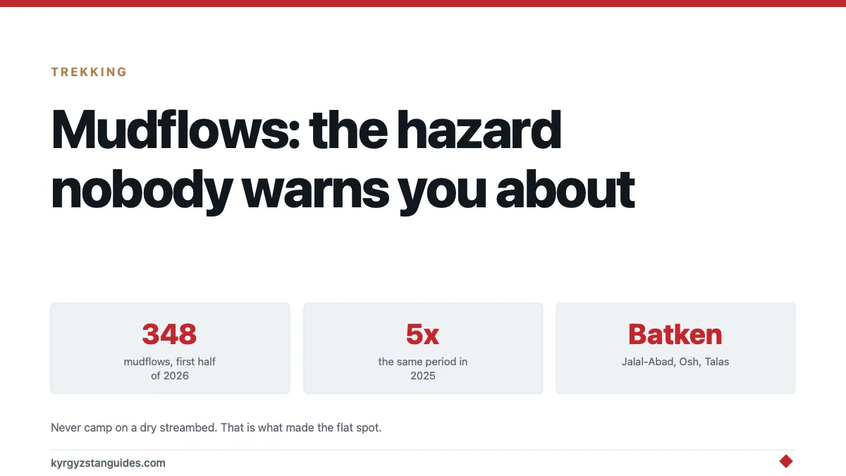
In the first half of 2026, Kyrgyzstan recorded somewhere between 280 and 348 mudflows. The highest figure in thirty to forty years, and roughly five times the same period in 2025, when there were about 70.
Those flows killed eight people and injured three. The year before, mudslides killed 25. They damaged 668 hectares of farmland, forced the evacuation of 236 people, and caused preliminary losses of around 399 million som, about $4.5 million.
If you're travelling here between spring and autumn, this is the natural hazard most likely to affect your trip. Altitude sickness gets a whole section in every guide. Mudflows get a sentence, if that.
What a sel actually is
The local word is sel, from the Russian сель, and it doesn't mean mud in the way the English word suggests.
A mudflow here's a dense, fast-moving slurry of water, mud, gravel and boulders coming down a gully. It has the consistency of wet concrete and it carries rocks the size of cars. It moves considerably faster than a person can run and it arrives with very little warning, often on a day that isn't raining where you are standing.
That last point is the one that catches people. The rain that generates a flow can be several kilometres up the catchment. A dry gully under a blue sky can run within minutes.
Why it is getting worse
Two drivers, and both are pointing the same way.
Glacier melt. Retreating glaciers leave behind loose moraine, unconsolidated rock and sediment with no vegetation holding it, and meltwater lakes that can release suddenly. More available sediment plus more available water produces more flows.
Rainfall intensity. More of the annual precipitation is arriving in short heavy bursts rather than spread out, which is precisely the pattern that triggers debris flows.
The Ministry of Emergency Situations expects both the frequency and the intensity to increase. Coverage of the 2026 surge put it plainly: the highest number of mudslides in decades, attributed to glacier melt. Reporting on the 2026 figures connects the record directly to glacier melt, and our guide to Kyrgyzstan's glaciers covers the underlying retreat.
This is one of the clearer cases where climate change in Central Asia shows up as an immediate physical hazard rather than a long-term projection.
Where and when
| Worst regions | Batken, Jalal-Abad, Osh, Talas |
| Peak season | Spring snowmelt through summer storms, into autumn |
| Typical trigger | Heavy rain upstream, rapid melt, or a lake outburst |
| Main impact on travel | Roads and bridges cut, sometimes for days |
Note that three of the four worst-affected regions are in the south. The road system there is more exposed, the valleys are narrower and the summer rainfall is heavier.
The Bishkek–Osh road crosses a great deal of this terrain, as does the road out to Batken and the approaches to Arslanbob and Sary-Chelek.
What this means in practice
Not "don't come." Mudflows are a normal feature of this landscape and people live and travel through them every year. But there are things worth doing.
Build slack into the itinerary. If a road is cut, it may be cleared in hours or in two days. A trip with no spare time is a trip that breaks. This matters more if you have a flight to catch at the end of a long road section.
Do not camp in a gully or on a dry streambed. Ever, anywhere in this country, however flat and sheltered and convenient it looks. A dry fan of gravel at the mouth of a side valley is dry because material comes down it. That is what made the flat spot.
Reconsider valley-floor camping in heavy rain. Move up, even slightly. Ten metres of elevation above a stream is a meaningful margin.
If you hear it, move sideways and up. Debris flows are loud, a deep rumbling and a grinding of rocks. You don't outrun one down-valley. You get out of the channel laterally.
Take road closures seriously. If a driver stops, or a barrier is down, that isn't bureaucracy. Secondary flows down the same gully are common and are what kills people who walk in to look.
Check before long drives in the south. Local operators, guesthouses and drivers will know what's open. This isn't information you will find in English online, the Ministry of Emergency Situations issues warnings about mudflow threats and sharp river rises, but they're published in Russian and Kyrgyz.
Have insurance that covers delay and rerouting. Our travel insurance guide covers what to look for. A road closure is exactly the kind of mundane event that costs money.
The related hazards
Mudflows don't travel alone.
Landslides. Same terrain, same triggers, often the same event. Slopes destabilised by rain or seismicity come down onto roads.
Avalanches, in winter and spring, which is the relevant hazard for ski touring and for the high passes. Entirely different discipline, entirely non-negotiable requirement for training and equipment.
Flash flooding, the same rain arriving as water rather than slurry.
Earthquakes, which are the slow background driver of all of it, they fracture rock and destabilise slopes, and the material sits there waiting for the rain that moves it.
Why this is worth taking seriously
Because Kyrgyzstan's mountains are young, steep and actively falling apart, and the visitor infrastructure has not caught up with the hazard.
You will be given a briefing on altitude. You will likely not be told anything about where to pitch a tent relative to a gully, and the standard of guiding varies. The onus is on you to know.
None of this should stop you going. The country is one of the great trekking destinations and the risk to any individual traveller is small. But "small" is doing work in that sentence, and it gets smaller with a few habits that cost nothing.
Why the count is a range and not a number
The emergency ministry gave two different figures for the same period a week apart. One briefing in mid-July 2026 put the first half of the year at 280 mudflow events, 33 emergencies overall and 149 people evacuated. A second, on 24 July, put mudflows at more than 340, with 236 evacuated. A third reported figure is 348.
We are quoting the range rather than picking one, because all three come from the same ministry and none of them is obviously the corrected version. What none of them disputes is the direction: this was the worst first half in thirty to forty years, against roughly 70 events in the same period of 2025.
Where the damage actually lands
Around 40 per cent of mudflow damage falls on roads. That is the figure that matters to a traveller, and it explains why the hazard usually shows up as a lost day rather than as a direct threat: you are far more likely to sit at a closed section than to be caught in a flow.
The ministry’s hydrometeorology director attributes the rise to intense rainfall, accelerated snow and glacier melt, and building inside hazardous gorges. Kyrgyzstan has more than 1,200 sites classified as potentially dangerous.
Alongside the human toll, the first half of 2026 took out 75 power line supports, and preliminary damage was put at 399 million som.
Planning around it
Three practical consequences. Build slack into any itinerary that crosses a mountain road between April and August, because a closure is usually hours rather than days but it is rarely announced in advance. Do not camp in a gully mouth or on an alluvial fan, however flat and inviting the ground looks. And treat heavy rain upstream as the trigger even when it is dry where you are standing.
For the road-specific picture, see our guide to Kyrgyzstan’s roads and tunnels and the mountain driving rules.
FAQ
Are mudflows common in Kyrgyzstan?
Yes, and increasingly so. The Ministry of Emergency Situations recorded 348 in the first half of 2026 alone, the highest figure in three to four decades and around five times the same period in 2025.
What is a "sel"?
The local term for a debris flow — a fast, dense slurry of water, mud, gravel and boulders moving down a gully. It's far more destructive than the word "mudflow" suggests.
When is mudflow season in Kyrgyzstan?
From spring snowmelt through the summer storm period and into autumn, with heavy rainfall and rapid melt as the main triggers.
Which parts of Kyrgyzstan are most affected?
Batken, Jalal-Abad, Osh and Talas regions see the most events, with roads, bridges and homes regularly damaged.
How do I stay safe from mudflows while trekking?
Never camp in a gully or on a dry streambed, avoid valley floors in heavy rain, move laterally and uphill if you hear a rumbling approach, and respect road closures rather than walking in to look.
Will mudflows disrupt my trip?
Possibly. Roads are cut most summers, sometimes for a day or more. Build spare time into any itinerary that depends on a long drive, particularly in the south.
The third city of southern Kyrgyzstan, and the place the first Soviet in the country was created in March 1917, is Kyzyl-Kiya.