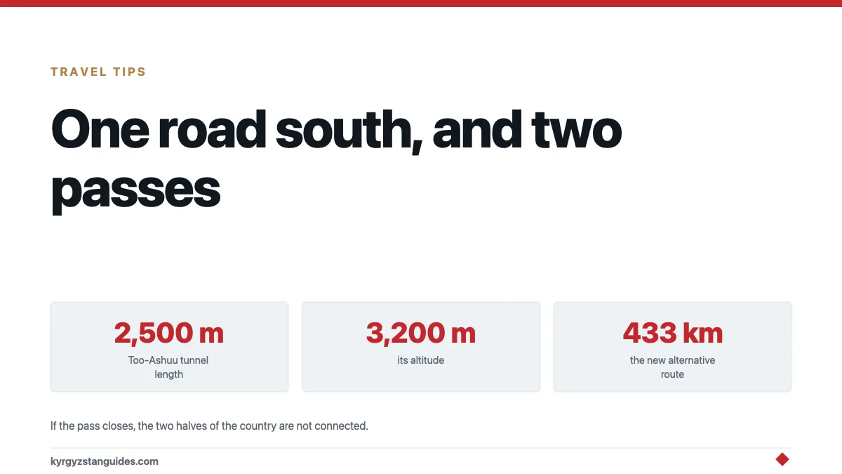
There is one road connecting northern Kyrgyzstan to southern Kyrgyzstan, and it crosses two passes above 3,000 metres.
If it closes — snow, avalanche, a mudflow, an accident in a tunnel. The two halves of the country are connected only by air or by a detour through Kazakhstan and Uzbekistan.
That is the single most important fact about Kyrgyz infrastructure, and after thirty years a second road is finally almost finished.
The Bishkek–Osh road
Around 670 km, and the spine of the country. Our route guide covers the journey; this is what it's made of.
The Töö-Ashuu tunnel. 2,500 metres long, at roughly 3,125 to 3,150 metres — the Ministry of Transport’s own pages give both figures. Soviet-built, unlit for much of its length, poorly ventilated, and notorious. Going through it in a diesel truck queue is a genuinely unpleasant experience, and the ventilation has been a recognised safety problem for decades.
The Ala-Bel pass, around 3,175 m, on the far side of the Suusamyr valley. The high basin that produced the 1992 earthquake.
The Chychkan gorge, a long descent beside the river toward Toktogul.
Then the reservoir, and the long run south.
The whole thing was built to connect a republic whose two halves faced different directions, and it is why the north–south division remains as sharp as it does. Two passes isn't a strong link.
What goes wrong with it
Winter closures. Both passes close in bad weather, sometimes for days. See our winter guide.
Avalanche. The approaches to Töö-Ashuu are avalanche terrain and there are galleries and defences along it.
The tunnel. Ventilation, lighting and queuing in a confined space at 3,200 m.
Mudflows and rockfall, particularly in the gorge sections.
Overtaking. The behavioural hazard rather than the engineering one, and the one our piece on the car fleet covers.
The new tunnel
Kyrgyzstan has been working on a replacement for the Töö-Ashuu tunnel, and a Japanese company has been contracted to build an alternative bore on the Bishkek–Osh highway at the pass.
The Kyrgyz foreign ministry's note on the initiative sets out the case: the existing tunnel is old, its ventilation is inadequate and the corridor carries traffic it wasn't designed for.
The North–South alternative highway
The bigger project, and the one that changes the map.
A 433 km alternative corridor running Balykchy – Kochkor – Aral – the Naryn and Kokomeren confluence – Kazarman – Jalal-Abad, giving a second road between north and south that avoids both Töö-Ashuu and Ala-Bel, and avoids running close to borders.
The engineering is substantial:
| Feature | Detail |
|---|---|
| Total length | ~433 km |
| Kok-Art pass tunnel | 3,890 m |
| Fergana range tunnel | Exceeds the Töö-Ashuu tunnel's parameters |
| Status | Opening postponed to 2026 |
The Diplomat covered the project nearing completion, and analysis at CABAR has questioned how suitable the chosen route actually is — the counter-argument being that a route through Kazarman crosses terrain at least as difficult as the road it replaces.
Completion has slipped repeatedly, which is not unusual for a project of this scale in this terrain.
The other roads worth knowing
Four more that shape how anyone travels here.
Bishkek–Karakol, along the north shore of Issyk-Kul. The best-surfaced major road in the country and the one most visitors use first. Our route guide covers it.
Bishkek–Naryn–Torugart, south-east toward China. Good to Naryn, increasingly rough beyond, and ending at a border crossing that requires arrangement in advance. See our border crossings guide.
Osh–Sary-Tash–Irkeshtam, the southern route to China, and the road onto the Pamir Highway at Sary-Tash. High, spectacular and the reason Osh is an overland hub.
Bishkek–Almaty, four hours to Kazakhstan on the best road either country has near the border. Our route guide covers the crossing.
Everything else is a valley road, and the general rule holds: the surface is good until it abruptly isn't, and the last 20 km to any trailhead is the worst part of the journey.
Why this is the country's central problem
Because geography here is not scenery, it's cost.
Kyrgyzstan is 90% mountain. Every kilometre of road is expensive, every winter damages it, and every route is a choice between a high pass and a long detour. The same constraint produced a rail network of 424 km in two disconnected halves, and it is why the China–Kyrgyzstan–Uzbekistan railway requires bridges and tunnels for 40% of its length.
A country that cannot move goods and people internally without crossing 3,200 m cannot build the kind of economy that its growing young population needs. That is the argument for spending several billion dollars on tunnels, and it's a reasonable one.
Who is paying for it
Worth noting, because it's the same pattern as everything else.
Kyrgyzstan does not have several billion dollars for tunnels. The money comes from outside: Chinese lending and construction companies for a great deal of the road network, Japanese contracting for the new Töö-Ashuu bore, and multilateral development banks for sections of the corridor.
That is how a country of seven million with a small budget builds infrastructure at this cost, and it is why debt composition is a live political question here — the same argument attached to the railway and, in a different form, to the bazaar trade.
The roads are real and necessary. So is the balance sheet.
For a traveller
Assume the pass may be closed. In winter, and occasionally in summer after storms. Build slack in.
Take the road at least once. It is one of the great drives in Central Asia and the scenery through Suusamyr and Chychkan is the reason.
Fly if time is short. Bishkek–Osh takes under an hour by air and ten to twelve hours by road.
Do not drive it at night. Livestock, no lighting, overtaking, and the tunnel.
Stop at Toktogul. The reservoir is worth the pause and our water politics piece explains what you are looking at.
Watch for the new road. When the northern alternative opens, the standard route between Jalal-Abad and the north will change, and so will a lot of itineraries.
The network behind the two roads
The Department of Road Economy maintains 18,633 kilometres of public road. The surface breakdown is the part worth sitting with: 5,712 kilometres of asphalt and 1,887 of black gravel, against 9,406 kilometres of gravel and 1,617 of earth. That is roughly 59 per cent unpaved. Fifty-seven road maintenance enterprises and about 2,531 staff keep it open.
Set that against the traffic the Bishkek–Osh road carries and the fragility stops being surprising. One paved spine, two passes above 3,000 metres, and a maintenance organisation spread thin across nine and a half thousand kilometres of gravel.
The second road, and its conditions
The alternative North–South road from Balykchy opened on 1 June 2026. It runs 433 kilometres, carries the country’s longest tunnel at 3.89 kilometres under Kok-Art, and cuts a thirteen-hour drive to about six.
It is not yet a replacement. It is open 06:00 to 20:00 only, and only from June to November. Axle load is capped at 11.5 tonnes. The tunnel toll runs from 100 to 5,000 som depending on vehicle. Two avalanche galleries are still unbuilt, with completion expected in 2028.
So for now the country still has one all-year road between north and south, and a second that works in summer, in daylight, for vehicles that are not too heavy.
What closes them, and who tells you
Snow and avalanche in winter, mudflow and rockfall from spring through late summer, and roadworks in the tunnels whenever the weather allows. The individual incidents are catalogued in our guide to the mountain road rules; what belongs here is the reporting problem.
There is no live public feed of road conditions. The Ministry of Transport keeps a page for it, and at the time of writing the operational bulletin published there was dated 18 November 2016. Closures are instead announced piecemeal, by the emergency ministry when a hazard is forecast and by the transport ministry or the traffic police once something has already happened, usually through news outlets rather than a single official channel.
The practical consequence for a traveller is that you cannot check the road before you leave in the way you would elsewhere. What you can do is ask at the bus station, which is where the information actually collects, and avoid committing to a same-day connection on the far side of a pass.
One number worth carrying: 112 is the unified emergency line.
FAQ
How long is the Bishkek–Osh road?
Around 670 km, crossing the Töö-Ashuu tunnel at 3,200 m and the Ala-Bel pass at roughly 3,175 m. It is the only road link between northern and southern Kyrgyzstan.
How long is the Töö-Ashuu tunnel?
2,500 metres, at an altitude of 3,200 metres. It's Soviet-built, and its ventilation and lighting have long been recognised as inadequate.
Is a new tunnel being built at Töö-Ashuu?
Yes. Kyrgyzstan has contracted construction of an alternative tunnel on the Bishkek–Osh highway at the pass, to replace the ageing existing bore.
What is the North–South alternative highway?
A 433 km road running Balykchy–Kochkor–Kazarman–Jalal-Abad, providing a second north–south link that avoids the Töö-Ashuu and Ala-Bel passes. It includes a 3,890 m tunnel at the Kok-Art pass.
When will the alternative highway open?
Opening has been postponed to 2026, after repeated delays.
Does the Bishkek–Osh road close in winter?
The passes close in bad weather, sometimes for several days. Check conditions before committing to the drive between November and March.
For the oblast capital itself — its bean economy, and the fact that the cheap road to it runs through Kazakhstan — see Talas town.
The last real town before this climb is Kara-Balta, built on a uranium combine and an oil refinery that have both stopped: see the Kara-Balta guide.