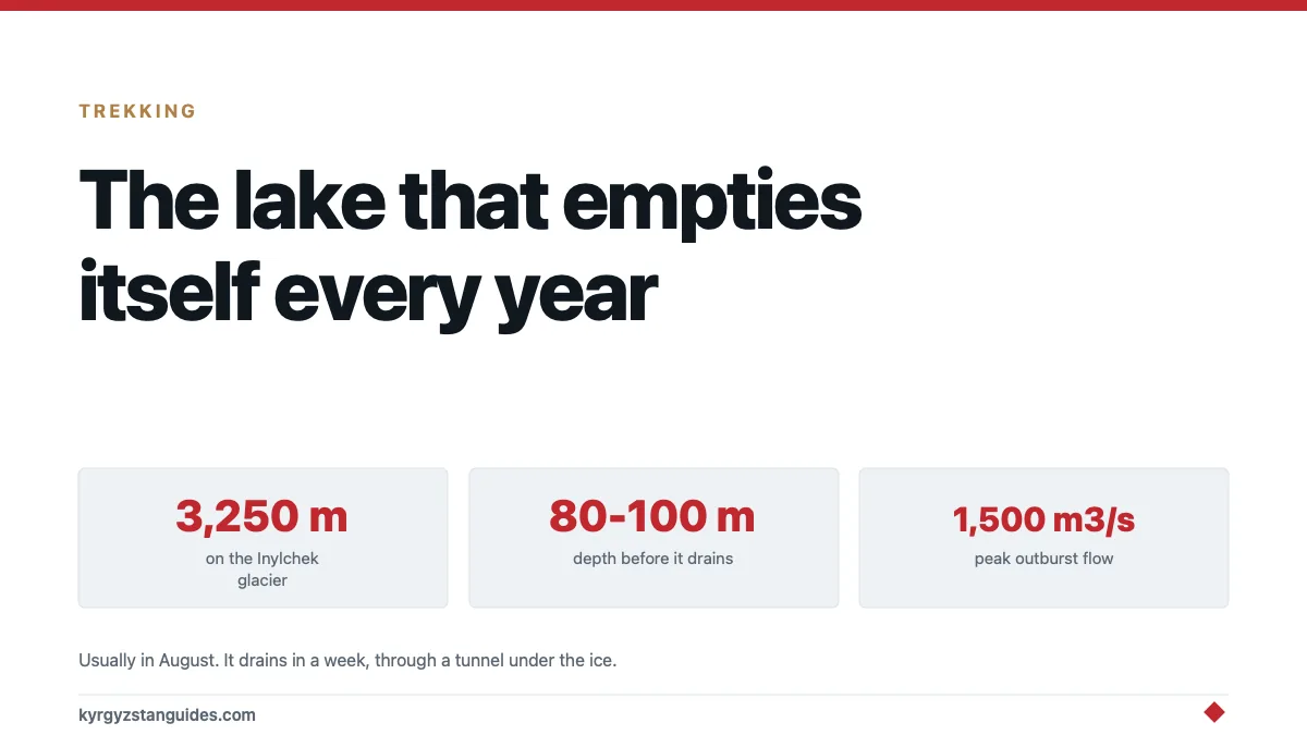
On the Inylchek glacier at 3,250 metres there's a lake held in place by a wall of ice. Each summer it fills to a depth of 80 to 100 metres. Then, usually in August, the ice dam fails, and the entire lake drains out through a tunnel under the glacier in about a week.
Peak discharge can reach 1,500 cubic metres per second. Gauges hundreds of kilometres downstream in China register the flood.
Then the ice closes, and it starts filling again.
What is actually happening
Lake Merzbacher sits where the North Inylchek glacier meets the South Inylchek, in the central Tien Shan near Khan Tengri.
Meltwater from the northern branch is blocked by the southern one. Ice is the dam. The lake fills through the melt season, and as it deepens the water pressure rises until it does one of two things: floats the ice dam off its bed, or forces open a channel beneath the glacier.
Either way the result is the same. A conduit opens under the ice, and once water is flowing through a tunnel in a glacier, friction melts the tunnel wider, which lets more water through, which melts it wider still. That runaway is why the drainage is violent rather than gradual.
The word for this is jökulhlaup — Icelandic, glacier-run, adopted internationally because Iceland is where they were first studied. Kyrgyzstan has one of the largest and most reliably repeating examples on earth.
The numbers
| Feature | Value |
|---|---|
| Altitude | 3,250 m |
| Depth before drainage | 80–100 m |
| Typical outburst | August, occasionally from mid-July |
| Frequency | Usually once a year |
| Duration of drainage | About a week |
| Peak discharge | Up to 1,500 m³/s |
For scale on that last figure: 1,500 cubic metres per second is comparable to a substantial European river in flood, coming out from under a glacier in a valley with nothing in it.
The flood runs into the Sary-Jaz, which crosses into China and becomes part of the Aksu headwaters, a feeder of the Tarim. Peak flows recorded at the Xiehela gauging station on the Chinese side exceed 1,000 m³/s, which is how researchers have been able to reconstruct the event history without standing on the glacier.
Why anyone cares beyond the spectacle
Three reasons, and the third is the one that matters here.
Water supply. The Aksu is a major contributor to irrigation in the Tarim basin. A flood that arrives in one week rather than spread across a season is a management problem for everyone downstream.
Prediction. Glaciologists have worked on whether the timing can be forecast; a study in the Journal of Glaciology examined exactly that. A predictable jökulhlaup is a manageable one, and hydrological modelling of how the outbursts shape discharge in the Aksu headwaters has been used to work out how much of the river's summer flow is actually arriving in these pulses.
It's a preview. As glaciers retreat, more ice-dammed and moraine-dammed lakes form, and some of them sit above inhabited valleys. The United Nations University has reported on Kyrgyzstan's growing glacial flood risk, and the number of hazardous lakes in this country is not static. Merzbacher is the harmless famous one because there is nobody beneath it. Others are not so conveniently placed.
Our guide to Kyrgyzstan's glaciers covers the retreat itself; this is one of its more concrete consequences.
Who Merzbacher was
The name isn't local, and the story behind it is worth a paragraph.
Gottfried Merzbacher was a German geographer and mountaineer who led an expedition into the central Tien Shan across 1902 and 1903. Khan Tengri was known to exist but had never been accurately placed on a map, and pinning it down was the expedition's objective.
He did not climb it. What he produced was the first map to locate Khan Tengri correctly, published in 1905, and a two-volume account of the journey. He found the ice-dammed lake in 1903, and it was later named after him.
There is something fitting in that. The mountain he went for was climbed decades later by other people. The obstacle he ran into turned out to be a globally significant glaciological phenomenon that still carries his name, and his own narrative of the expedition, The Central Tian-Shan Mountains 1902-1903, is freely readable more than a century on.
Can you see it?
Yes, and it's a serious undertaking.
The lake sits on the route to South Inylchek base camp, below Khan Tengri and Pobeda Peak. Getting there means either a multi-day trek up the Inylchek glacier or a helicopter from Karkara, and both are expedition-grade rather than trekking-holiday grade.
What that involves:
The trek runs several days each way over moraine and ice, with river crossings, at altitude, in a border zone. It's firmly in the territory covered by our hardest treks guide and isn't a thing to attempt independently without glacier experience.
The helicopter is the realistic option for most people who get there, generally as part of a climbing expedition's logistics. It's expensive and weather-dependent.
A permit is required. This is a border zone near China, and the paperwork must be arranged in advance through an operator. Our border crossings and zones guide explains the system.
Timing is a gamble. The lake is most striking full, with icebergs on it. If you arrive after the outburst you get an empty basin with stranded ice blocks sitting on the floor of it: which is arguably the more extraordinary sight, and is not what you planned for.
Nobody watches the drainage. It happens under the glacier. There is no spectacle of a wall bursting; the lake simply goes.
If you're not going
You are in good company, and the thing is still worth knowing about.
Almost everything people find remarkable about high Kyrgyzstan is a version of this: a landscape that isn't in equilibrium, doing something large on a schedule nobody set. The mountains are still rising, the glaciers are retreating, and a lake in the middle of the Tien Shan fills and empties itself every year with no reference to anyone.
The Inylchek is the largest glacier in the country and one of the largest outside the polar regions. It's worth knowing what's happening on it while you're looking at it from a valley several days' walk away.
FAQ
What is Lake Merzbacher?
An ice-dammed lake at 3,250 m on the Inylchek glacier in the central Tien Shan, formed where meltwater from the North Inylchek is blocked by the South Inylchek glacier.
Why does Lake Merzbacher drain every year?
As the lake fills, water pressure rises until it forces a channel beneath the ice dam. Flowing water then melts that tunnel wider in a runaway process, emptying the lake in about a week.
When does the Merzbacher outburst happen?
Usually in August, though it has occurred as early as mid-July. It typically happens once a year.
How big is the flood?
Peak discharge can reach around 1,500 m³/s, and flows exceeding 1,000 m³/s have been recorded at gauging stations downstream in China.
Can tourists visit Lake Merzbacher?
Only as part of a trek or helicopter trip to South Inylchek base camp, in a permitted border zone. It's expedition-level travel, not a day trip.
Is Lake Merzbacher dangerous?
Not to people, because the valley below it's uninhabited. The concern is broader: glacier retreat is creating more such lakes in Kyrgyzstan, and some of those sit above populated valleys.