There is a grave on the shore of Issyk-Kul, a few kilometres from Karakol, belonging to a man who died of typhoid in 1888 while preparing to enter Tibet. The town was renamed after him and stayed renamed for a century.
There is a lake on the Inylchek glacier named after a German geographer who never reached the peak he was looking for.
And there's a mountain range named, in Russian usage, partly after a man who added it to his own surname.
The exploration of the Tien Shan is one of the better stories attached to this country and one that travellers walk straight past, usually while standing in the museum that exists specifically to tell it.
Semyonov, who went first
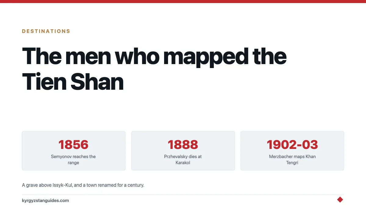
Pyotr Petrovich Semyonov set out from Barnaul in 1856 and became the first European to reach the Tien Shan and see the panorama around Khan Tengri.
This wasn't a small thing. He reached Issyk-Kul by a western route that no European had travelled and on which no scientific survey of any kind had been done. He described the geology, the glaciation and the vertical zonation of vegetation on the ranges, and he did it at a point when European maps of inner Asia were largely guesswork.
In recognition, the Tsar later permitted him to add the range to his name. He became Semyonov-Tyan-Shansky (Semyonov of the Tien Shan) at the age of 79.
He went on to become the central organising figure of Russian geography, running the Imperial Russian Geographical Society and sending out the expeditions that mapped much of Central Asia, including the one that killed Przhevalsky. His travels in the Tian-Shan of 1856–57 are available in English translation.
Przhevalsky, who died here
Nikolai Przhevalsky is the name you'll actually encounter, because it is attached to a town, a museum and a grave.
He made four major expeditions into Mongolia, China and Tibet, collecting enormous quantities of specimens and producing the first serious European descriptions of large parts of inner Asia. The wild horse — Equus ferus przewalskii, the only true wild horse left — carries his name because he was the first to describe it scientifically.
Tibet was the objective he never reached. He was preparing a fifth expedition when he contracted typhoid, reportedly while hunting in the Chuy valley, and was brought to Karakol. He died in 1888.
He asked to be buried overlooking Issyk-Kul, and he was, a few kilometres outside town. The Tsar renamed Karakol to Przhevalsk. The name stuck through the Soviet period and was changed back in 1991.
The memorial museum opened in 1957 and holds documents and material from the Geographical Society, alongside the grave and a large monument.
Merzbacher, who was stopped
Gottfried Merzbacher, a German geographer, went into the central Tien Shan across 1902 and 1903 with a specific objective: to establish where exactly Khan Tengri was.
He did not climb it. He produced the first map to place it accurately, published in 1905, and he ran into an ice-dammed lake blocking the Inylchek glacier that now carries his name. Our piece on Lake Merzbacher covers what that lake turned out to be. One of the largest and most reliably repeating glacial outburst systems on earth.
The horse, which is the best footnote
Przhevalsky's name survives most durably attached to an animal he didn't discover so much as formally describe.
Equus ferus przewalskii — Przewalski's horse, takhi in Mongolian. Is the only horse species never domesticated. Every other horse on earth, including the Kyrgyz horse and the Novokirghiz, descends from domesticated stock. This one doesn't.
It went extinct in the wild in the 1960s and exists today entirely because zoo populations were bred back up and reintroduced, principally in Mongolia. It is one of the few genuine successes in that line of conservation work.
So the man buried above Issyk-Kul has his name on the last wild horse, in a country whose entire culture is built on the domesticated one. That is a coincidence, and it is a good one.
The uncomfortable part
These weren't neutral scientific expeditions and it is worth saying so.
Russian exploration of the Tien Shan was an instrument of imperial expansion. Semyonov's surveys, and the Geographical Society he built, were mapping territory that the Russian Empire was in the process of taking. The forts went up, the settlers followed, the pasture was transferred, and within sixty years of Semyonov's first journey the consequences included Urkun.
Przhevalsky's own writings about the peoples of inner Asia are, by any modern standard, contemptuous. He was a superb field naturalist and a man of his moment, and both of those are true at once. A museum-focused account of the site covers what's on display without much of this context, which is itself informative.
None of that means the science was worthless — it wasn't, and much of the glaciological and biological baseline for this region starts with these expeditions. It means that a museum celebrating a Russian explorer in a town he was posthumously renamed after is not a simple monument, and Kyrgyzstan changing the name back in 1991 wasn't an administrative tidy-up.
Visiting it
The Przhevalsky memorial and museum, a short drive from Karakol toward the lake. The grave, the monument and a museum that is genuinely well put together. Half a day at most, and easily combined with the Dungan mosque and the wooden Orthodox church in town.
Karakol itself is the obvious base, and the whole exploration story is legible there once you know it.
The Tien Shan they were mapping is the ground you are on. Khan Tengri and the Inylchek are still expedition territory. Merzbacher's lake still fills and drains every August.
The Russian community that the expeditions preceded is covered in our piece on Russians in Kyrgyzstan.
Why it's worth knowing
Because it explains why the maps look the way they do.
Almost every major feature in this country has a Kyrgyz name and a Russian-era scientific identity laid over it, and frequently a third layer of Soviet renaming on top. Place names here mostly describe the terrain; the exceptions: the ones named after people, are almost all from this period.
Standing at a grave above Issyk-Kul, in a town that spent a century named after the man in it, in a range one of his colleagues attached to his own surname, is a reasonably direct encounter with how this landscape came to be described by outsiders.
FAQ
Who was Nikolai Przhevalsky?
A Russian explorer and naturalist who led four expeditions into Mongolia, China and Tibet. Przewalski's horse is named after him. He died of typhoid at Karakol in 1888 while preparing a fifth expedition.
Why was Karakol called Przhevalsk?
It was renamed by the Tsar after Przhevalsky died there in 1888. The name was used through the Soviet period and changed back to Karakol in 1991.
Where is Przhevalsky buried?
On a rise overlooking Issyk-Kul a few kilometres from Karakol, at his own request. There is a monument and a memorial museum, opened in 1957.
Who was the first European in the Tien Shan?
Pyotr Semyonov, who reached the range in 1856 and was the first European to see the panorama around Khan Tengri. He was later permitted to add the range to his surname as Semyonov-Tyan-Shansky.
Who was Merzbacher?
Gottfried Merzbacher, a German geographer whose 1902–03 expedition produced the first accurate map placing Khan Tengri. The ice-dammed lake on the Inylchek glacier is named after him.
Is the Przhevalsky museum worth visiting?
Yes, if you are in Karakol and interested in the exploration history. It's well presented, and the grave and monument are part of the same site.