You'll be given an address that reads something like: "past the bridge, second turning after the blue gate, ask for Gulnara."
That isn't vagueness. It's how the country actually navigates, and once you understand why, finding places stops being frustrating.
Why addresses are like this
Cities have addresses. Villages mostly don't use them.
Bishkek, Osh and the larger towns have a proper street-and-number system, inherited from Soviet planning and laid on a grid, with the mikroraion apartment blocks numbered rather than named — the same grid our piece on Bishkek's aryks describes, chosen in 1878 to suit irrigation.
Villages have street names on paper and a population that does not use them. In a settlement of eight hundred people where everyone knows everyone, "the house with the green roof past the school" is more precise than a number nobody has memorised.
Numbers exist and are unreliable. Where house numbers are painted on gates, they may be out of sequence, missing on the neighbours, or from a previous numbering scheme.
Streets have been renamed. Frequently. Bishkek itself was Pishpek, then Frunze from 1926, then Bishkek again in 1991, a sequence the city's own history records, and the streets changed with it. Soviet-era names were replaced after 1991, and some have been changed again since. Older residents use the old name, younger ones the new one, and the map may have either.
How to actually find somewhere
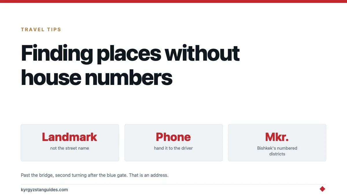
Get the landmark, not the address. When booking a guesthouse, ask what it's near. The answer will be a school, a mosque, a shop, a bridge or a bus stop.
Get a phone number, always. This is the single most useful thing. The universal solution to being lost here's to call and hand the phone to your taxi driver. Everyone does this, including locals.
Use the driver. Give the phone number to the driver at the start rather than after twenty minutes of circling.
Ask people. Directions are given readily and are usually good. Ask two people if the first answer seems odd.
Download offline maps before you leave signal. Coverage is patchy outside towns, as our internet guide explains.
Expect maps to be wrong in villages. Crowd-sourced maps are excellent for roads and unreliable for individual houses.
Reading a Kyrgyz address
When you do get a written one, the order is the opposite of English convention.
| Element | Example |
|---|---|
| City / village | Bishkek |
| Street | ул. Чуй (Chuy street) |
| Building | д. 45 (dom 45) |
| Apartment | кв. 12 (kvartira 12) |
ул. / köchösü = street. д. / dom = building. кв. / kvartira = flat. мкр. / mkr. = mikrorayon, a numbered Soviet housing district, which is how a great deal of Bishkek is organised.
Learning the Cyrillic alphabet takes about an hour and makes all of this readable. Our place names guide covers what the words themselves mean.
The mikrorayon system
Worth explaining because it confuses people in Bishkek.
Large parts of the capital are organised into numbered mikrorayons, planned residential districts of apartment blocks with their own schools, shops and clinics, built as units.
An address there may be "12th mikrorayon, building 34, flat 7" with no street at all. Buildings within a mikrorayon are numbered in an order that made sense to the planner and doesn't always make sense from the street.
If you are looking for a flat in a mikrorayon, the phone number isn't optional.
Getting to a trailhead
A separate problem, and the one most likely to cost you a day.
The last stretch is the hard part. The road to a valley may be good until the final twenty kilometres, which is where a normal car stops being adequate.
Trailheads are rarely marked. There is no sign saying where the path starts.
Agree the exact drop-off point in advance. "The bridge" and "the end of the road" are different places, sometimes by an hour of walking.
Take a pin, not a name. A coordinate from a previous traveller's track is worth more than a place name.
Arrange the pickup at the same time as the drop-off, with a time and a fallback day. There is no signal to call from, and this is the arrangement our mountain rescue guide assumes you have made.
Which map to use
Not all of them are equally good here, and the differences matter.
OpenStreetMap-based apps are the best option for Kyrgyzstan. Trails, tracks, springs and passes are mapped by the people who walk them, and coverage of hiking routes is substantially better than the commercial alternatives. Download the country before you leave wifi.
Commercial navigation apps are good in Bishkek and on main roads and thin out fast beyond them.
Soviet topographic maps still circulate in digital form and are genuinely useful for terrain, contours and old tracks, with the caveat that anything built since 1990 is missing and some place names have changed.
Satellite imagery, downloaded in advance, is what settles arguments about whether a track exists.
A paper map as backup. Phones die in cold, and the temperatures our winter guide describes will flatten a battery faster than you expect.
The general rule: cross-reference two sources before committing to a route, and treat any single map's trail as a hypothesis.
Practical habits
Save the guesthouse's location as a pin the moment you arrive, before you wander off.
Screenshot the address in Cyrillic so you can show it rather than pronounce it.
Learn "kayda?". Where? Point at the written name and say it.
Write your destination down rather than saying it. Kyrgyz place names have several valid spellings and your pronunciation may not survive the journey.
Marshrutka destinations are written on the windscreen, in Cyrillic, which is the practical reason to learn the alphabet. Omniglot's Kyrgyz page shows the letters, including the four that Kyrgyz adds to Russian Cyrillic. Our marshrutka guide covers the rest.
Ask at a shop. Shopkeepers know where everything is and are used to being asked.
Use what3words with caution. It works and almost nobody local uses it, so it's useful for recording a spot for yourself and useless for telling a driver where to go.
Coordinates are universally understood. A driver may not read a map, but a phone showing a pin and a route is a shared language. Know how to read and share a latitude and longitude in decimal degrees before you need to.
FAQ
Do Kyrgyz villages have street addresses?
On paper, yes. In practice people navigate by landmarks (the school, the mosque, a shop, a bridge) because everyone knows the houses.
What is a mikrorayon?
A numbered Soviet-planned residential district of apartment blocks, common in Bishkek. Addresses there may give the mikrorayon and building number with no street name.
How do I find a guesthouse in Kyrgyzstan?
Get a phone number and a nearby landmark when booking, and hand the phone to your taxi driver if there is any doubt. This is what locals do.
Are online maps accurate in Kyrgyzstan?
Good for roads, unreliable for individual houses in villages. Download offline maps before leaving mobile coverage.
How do I read a Kyrgyz address?
City, then street (ул.), then building (д.), then flat (кв.). Learning Cyrillic takes about an hour and makes addresses, signs and marshrutka windscreens readable.
How do I find a trailhead?
Use a coordinate rather than a place name, agree the exact drop-off point with your driver in advance, and arrange the pickup time and a fallback day before you set off.